Lecturer
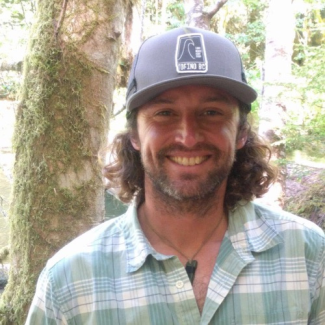
Ed is a marine spatial scientist who focuses on creating seafloor habitat prediction maps to investigate the distribution of both ecological systems and geological seafloor composition. He is a Lecturer in UCSB’s Environmental Studies Program.
Ed earned his M.S. from the Center for Coastal and Ocean Mapping (CCOM) - Joint Hydrographic Center (JHC) at the University of New Hampshire, and outside academia, has worked as a federal contractor employee for U.S. Geological Survey (USGS) with the Seafloor Mapping Group in Woods Hole, MA, a tall ship sailing scientist for Sea Education Association (SEA), as the Programs Coordinator for the Santa Barbara Museum of Natural History Sea Center, and (currently) as a contractor employee for the National Oceanic and Atmospheric Administration (NOAA) National Centers for Coastal and Ocean Science (NCCOS) Seascape Ecology and Analytics (SEA) branch.
Research
Coastal habitats are important ecosystems that support an immense diversity of marine species. They also benefit surrounding coastal communities, acting as protective barriers to storm surges and other erosive coastal forces, attract tourists, create jobs for local people, sequester carbon and provide fishing grounds for food.
Mapping these sensitive habitats helps to monitor their health and set a baseline for comparison over time. As a marine spatial ecologist, Ed Sweeney uses various remote sensing instruments, such as multispectral satellite imagery, sonar (sound navigation and ranging) and lidar (light detection and ranging) data, autonomous underwater vehicles (AUVs) equipped with camera systems, spatial prediction modeling and GIS software to map and understand the distribution of seafloor substrate and biota. These habitat maps can be used to understand the spatial distribution of benthic habitats and gauge the impacts of increasing anthropogenic pressures on them.
In the last few years, Ed’s work has focused on mapping seafloor habitat in the western Pacific region, such as Guam and the Commonwealth of the Northern Mariana Islands (CNMI), where coral reef habitats are common. More locally, Ed conducts habitat mapping research in the Channel Islands National Marine Sanctuary (CINMS), a 1,470 km2 area surrounding the islands viewable offshore from UCSB.
Education
- M.S., Earth Sciences - Ocean Mapping, University of New Hampshire
- B.A., Geology (major), Economics (minor), Bowdoin College
Courses Taught
- ENV S 154: Geographic Information Systems (GIS) for Environmental Applications